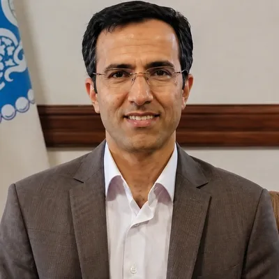
Iranian thinker
Ali Darvishi Boloorani
Ali Darvishi BolooraniRemote sensing and geoinformaticsIranianb. 1975
A global atlas of dust sources is a valuable tool for climate modeling, environmental monitoring, air-quality forecasting, and the sustainable management of water and soil resources.
In their times
Open in the Timeline of ThoughtLife and Thought
Ali Darvishi Boloorani is a researcher and faculty member at the University of Tehran specializing in remote sensing and geoinformatics. His research focuses on identifying and analyzing dust sources, drought, land degradation, vegetation change, and the use of satellite data and artificial intelligence in environmental hazard management.
Ali Darvishi Boloorani was born on July 11, 1975. He is a researcher and faculty member in the Department of Remote Sensing and Geographic Information Systems at the University of Tehran’s Faculty of Geography. Darvishi Boloorani studied cartography at the University of Tehran as an undergraduate and remote sensing and geographic information systems at Tarbiat Modares University for his master’s degree. In 2008, he received his PhD in environmental remote sensing from the University of Göttingen in Germany.
His principal area of research is the application of remote sensing, spatial data, and geoinformatics methods to understanding and managing environmental hazards. A substantial part of his work concerns the identification of dust sources, the analysis of sand and dust storms, drought, desertification, soil erosion, land degradation, and vegetation-cover change.
Darvishi Boloorani uses multitemporal satellite imagery, spatial models, machine learning, and GeoAI to monitor environmental change and analyze vulnerability. His major research topics include the roles of agriculture, water-resource management, and climate change in the expansion of dust sources, particularly in Iran and the Tigris–Euphrates Basin.
He has also contributed to research on urban quality of life, pollution monitoring, sustainable agriculture, water-resource management, and multi-hazard assessment. An international project under his direction produced a high-resolution global map of dust sources using multisource remote-sensing data. The study examines the roles of human activity, land-use change, drought, and climate change in the formation and expansion of dust-emitting areas.
Darvishi Boloorani’s work lies at the intersection of geography, environmental science, space technology, and disaster management. It aims to provide scientific data and tools for environmental monitoring, hazard forecasting, policymaking on sand and dust storm risk reduction, and sustainable land management.